Transportation System Plan Update
Share Transportation System Plan Update on Facebook
Share Transportation System Plan Update on Twitter
Share Transportation System Plan Update on Linkedin
Email Transportation System Plan Update link
Consultation has concluded. Please visit www.tigard-or.gov/tsp to view the updated Plan.
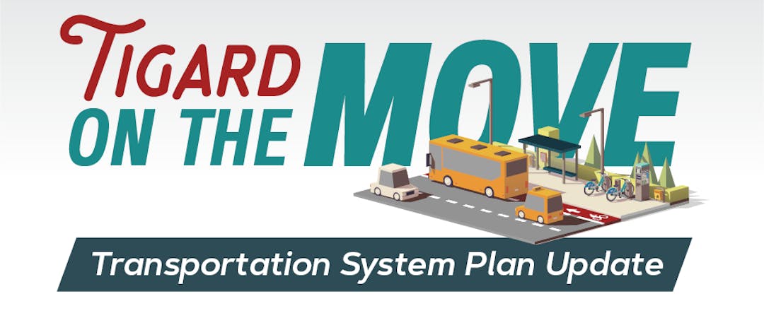
The Transportation System Plan (TSP) is a roadmap for investments in our community’s shared transportation system; one that serves all road users.
We want to know how Tigard’s transportation system can help get you where you need to go, whether walking, bicycling, riding transit or driving. We love our community and we want to maintain and enhance our quality of life over the long haul.
This update will be guided by community input and will build off Tigard’s Strategic Plan and Complete Streets policy, each aimed at supporting equitable access for road users of all ages and abilities. We want to hear from you!
Here's What We Heard: 


Who's Listening
-
Email daver@tigard-or.gov